
 I Want To
Notice of Private Drone Survey Activity
Rosor Corp. has asked that residents and visitors be made aware of a licensed drone survey that will be conducted in Highlands East along the Highway 118 corridor, south of Hudson Lake, southeast of Cope Lake, east of Little Maple Lake, and around Loop Road and Route 648 West toward Deer Lake, Colbourne Lake, and Moraine Drive.
The drone activity is part of a professional survey project performed by a private company and is not affiliated with Highlands East.
Survey operations have been rescheduled to take place between June 8 and June 25 and will cover an approximate 8.38 km by 5 km area.
Statement from Rosor Corp.
Rosor Corp. provides professional geophysical survey services supporting safe and data-driven exploration projects across Canada and internationally.
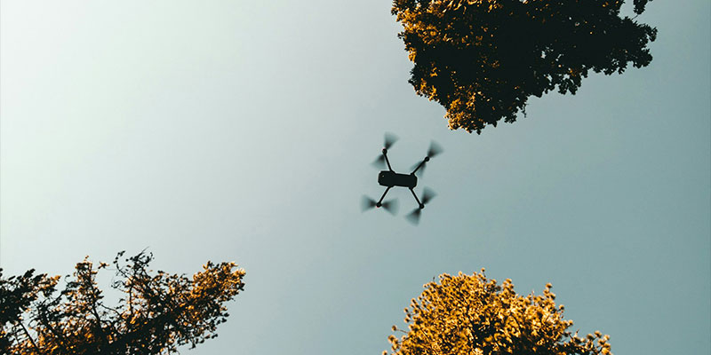
Rosor Exploration Corp. has been contracted by Canamera Energy Metals to conduct an airborne geophysical survey in the area. The survey will consist of magnetic and radiometric data collection using UAV (drone) technology. These surveys are passive and non-intrusive, meaning no ground disturbance or physical impact to the area will occur.
All operations are being conducted in accordance with Transport Canada regulations and authorizations. Please note that private properties will not be included within the survey area. No photos or video recordings will be collected during the survey operations. We appreciate the community’s cooperation and understanding as these operations are carried out safely and responsibly.
Survey location: Highlands East, Ontario along the Highway 118 corridor, including areas near Hudson Lake, Cope Lake, Little Maple Lake, Loop Rd / Route 648 West, Deer Lake, Colbourne Lake, and Moraine Dr.
Primary coordinates: 44°59'28.67"N, 78°06'53.30"W (44.991297, -78.114806).
Survey activities are expected between June 8 and June 25, 2026, and may last approximately 1–2 weeks depending on weather conditions.
This is a professional geophysical survey project and is not intended to invade privacy or record personal activities. Drone activity may be visible near residences, cottages, resorts, campgrounds, and nearby communities during this period.
Contact Us
 Subscribe to this Page